Bike Lanes

Fact Check: The Greenway Trails Network Plan Is Awesome, Support It.

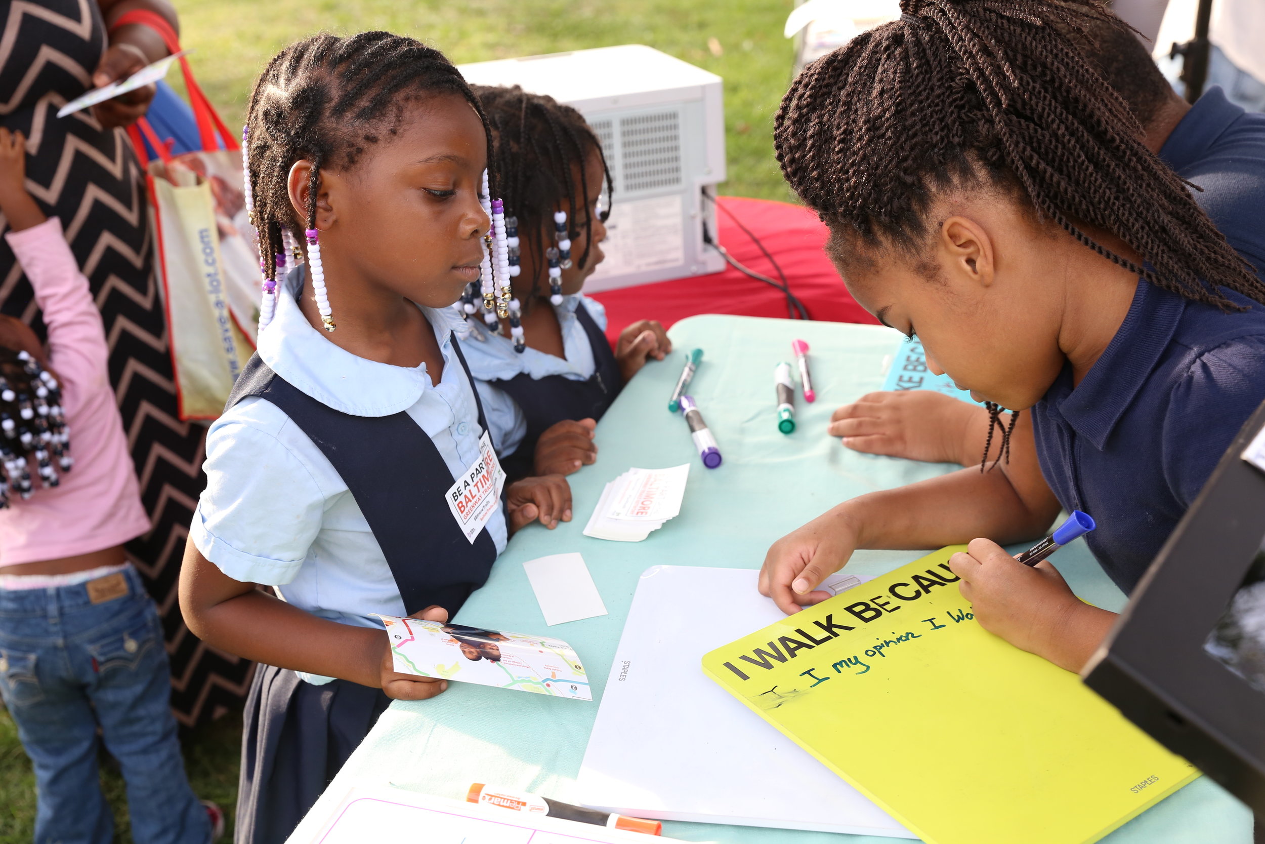
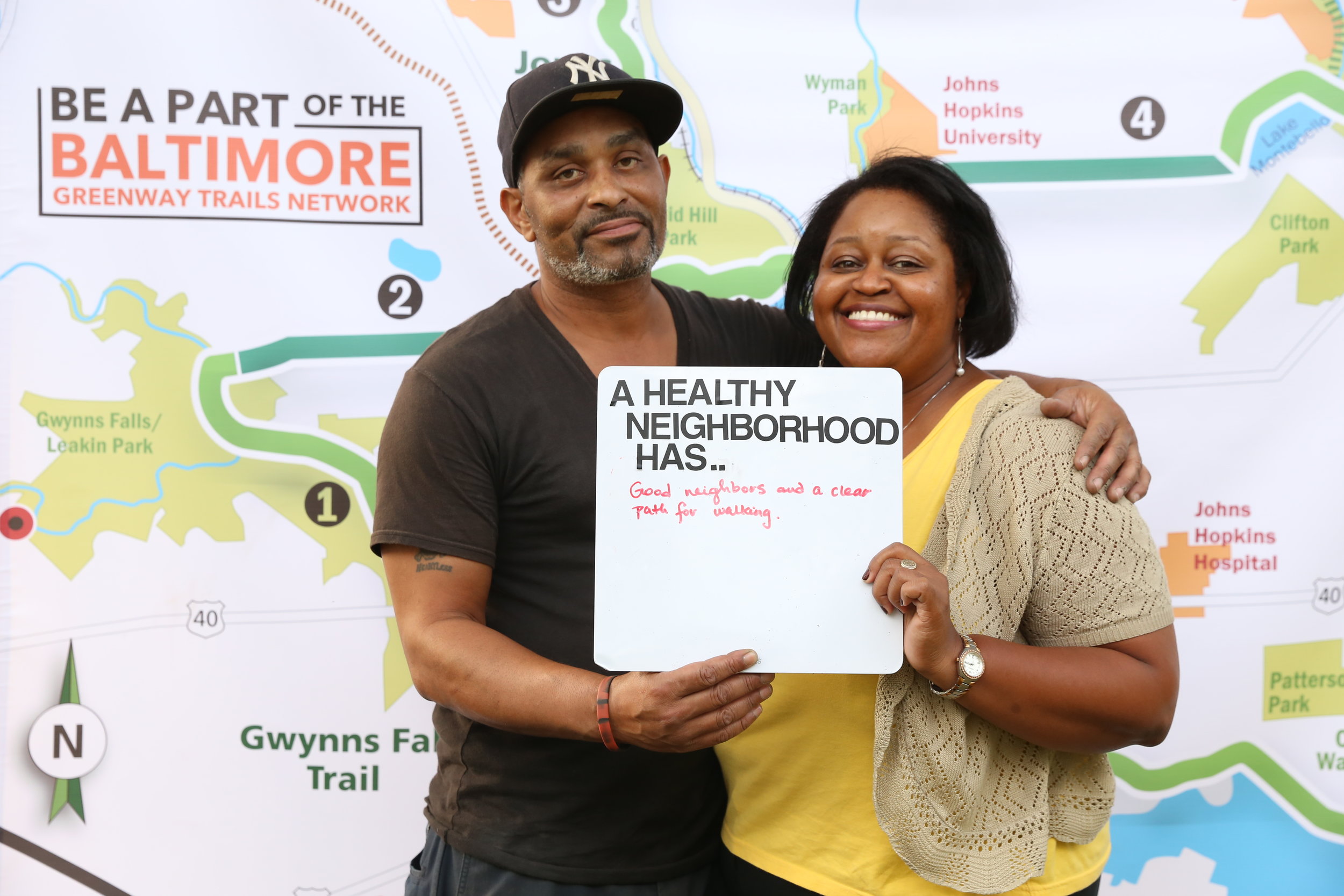
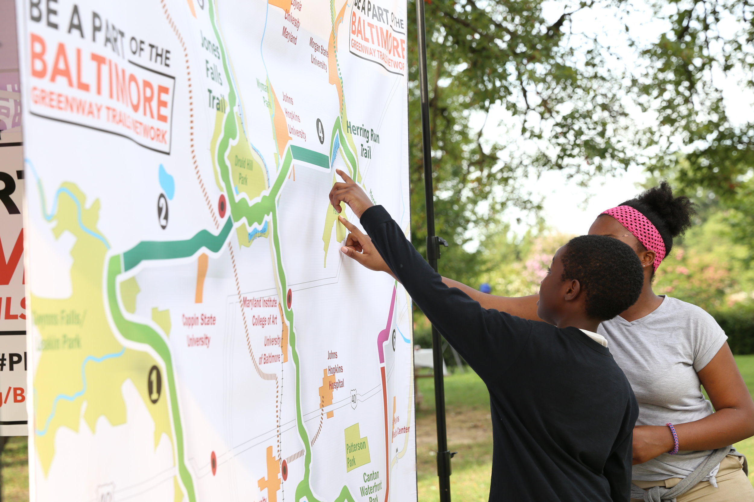
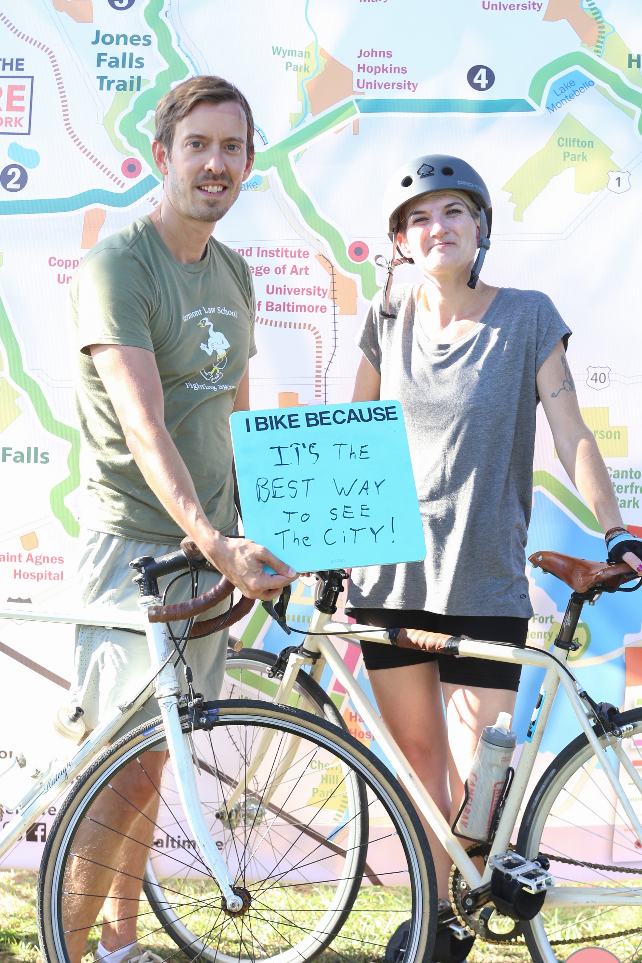
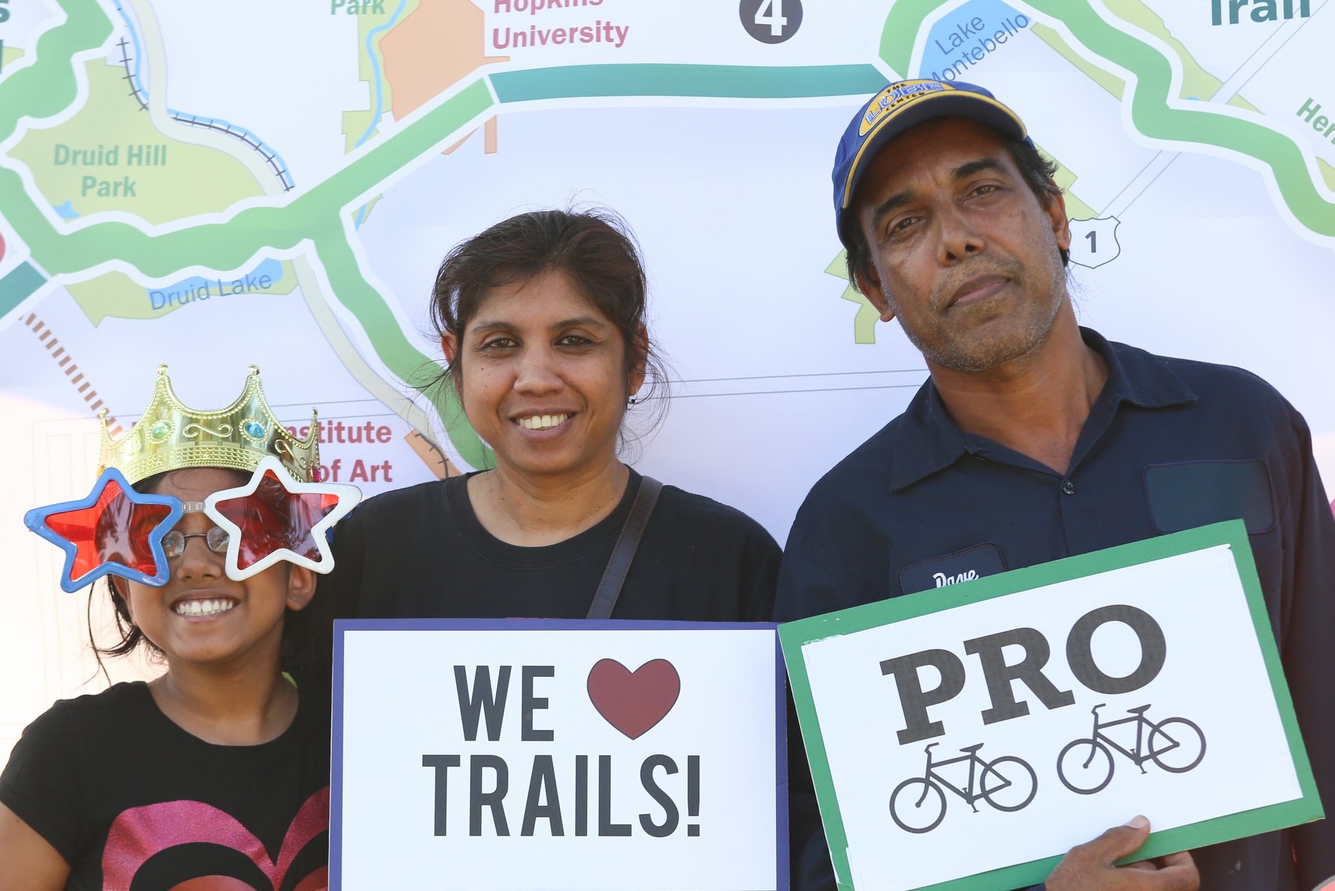
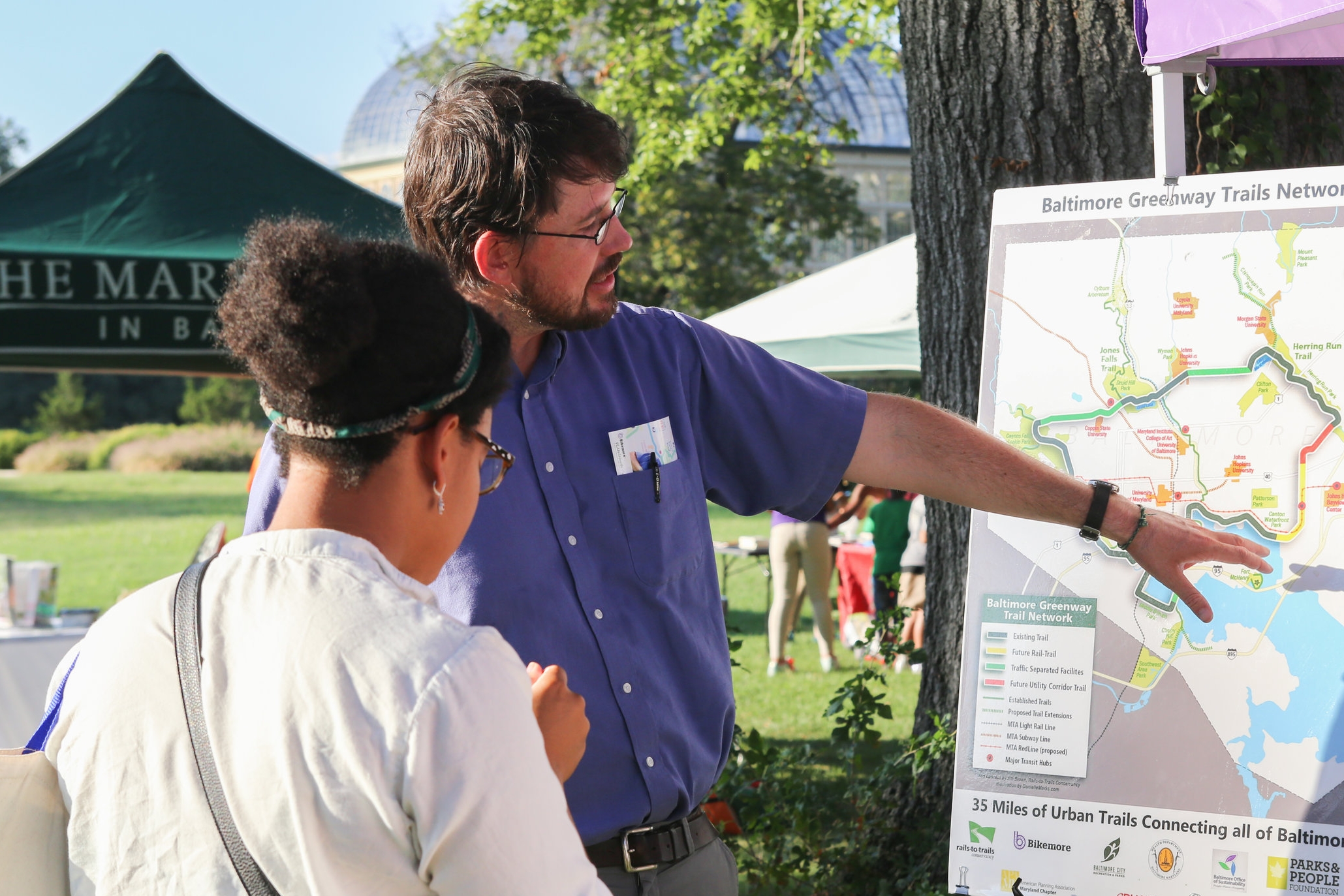
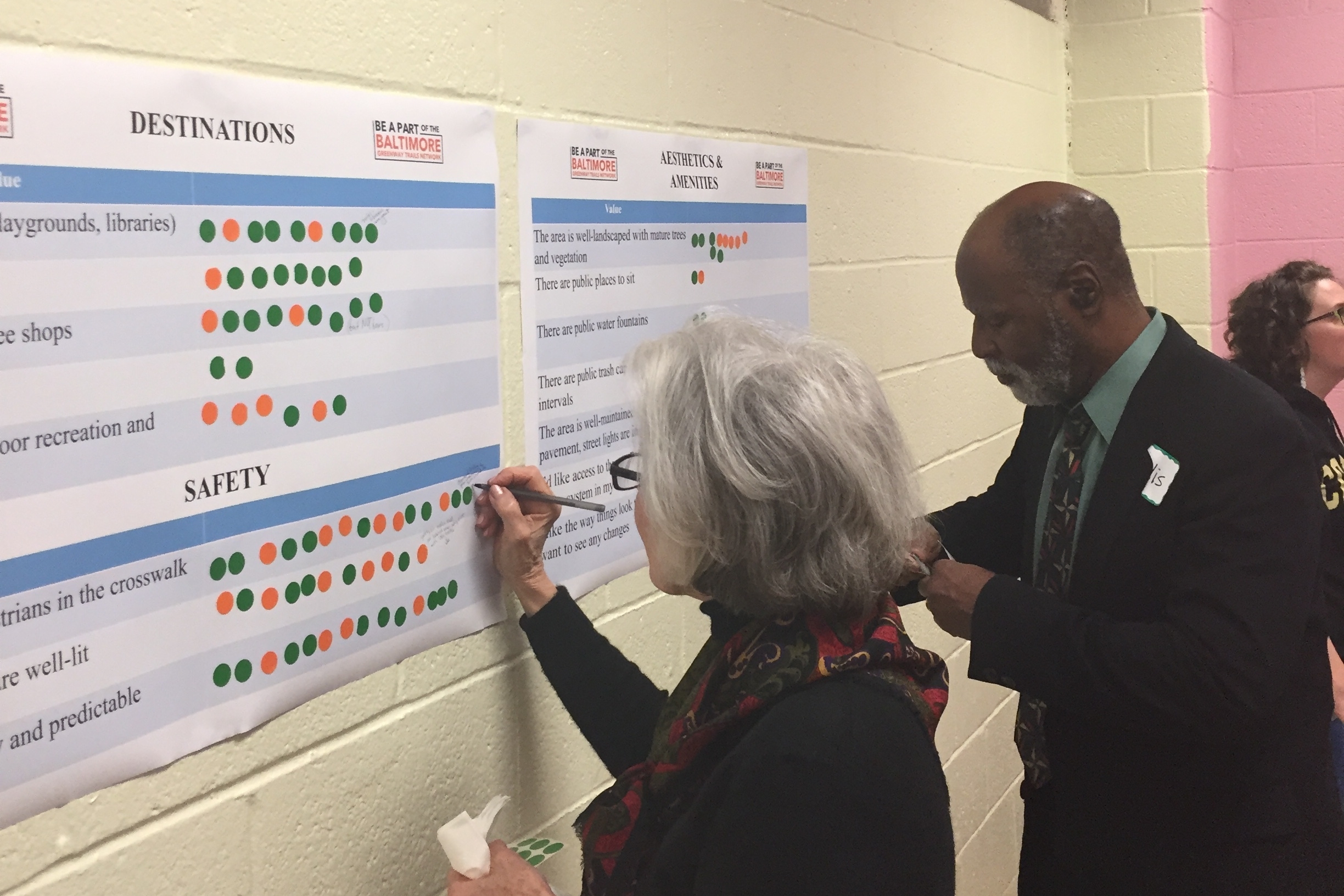
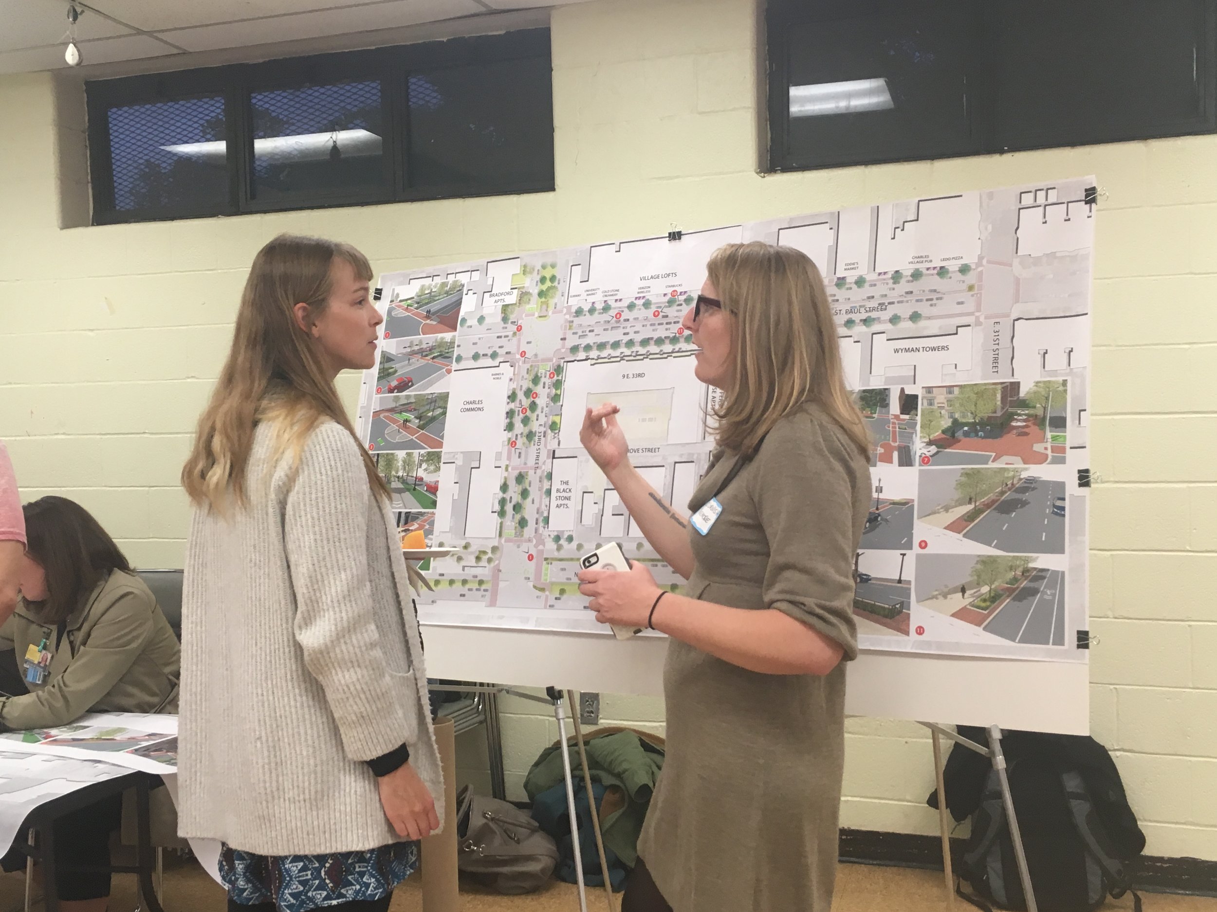
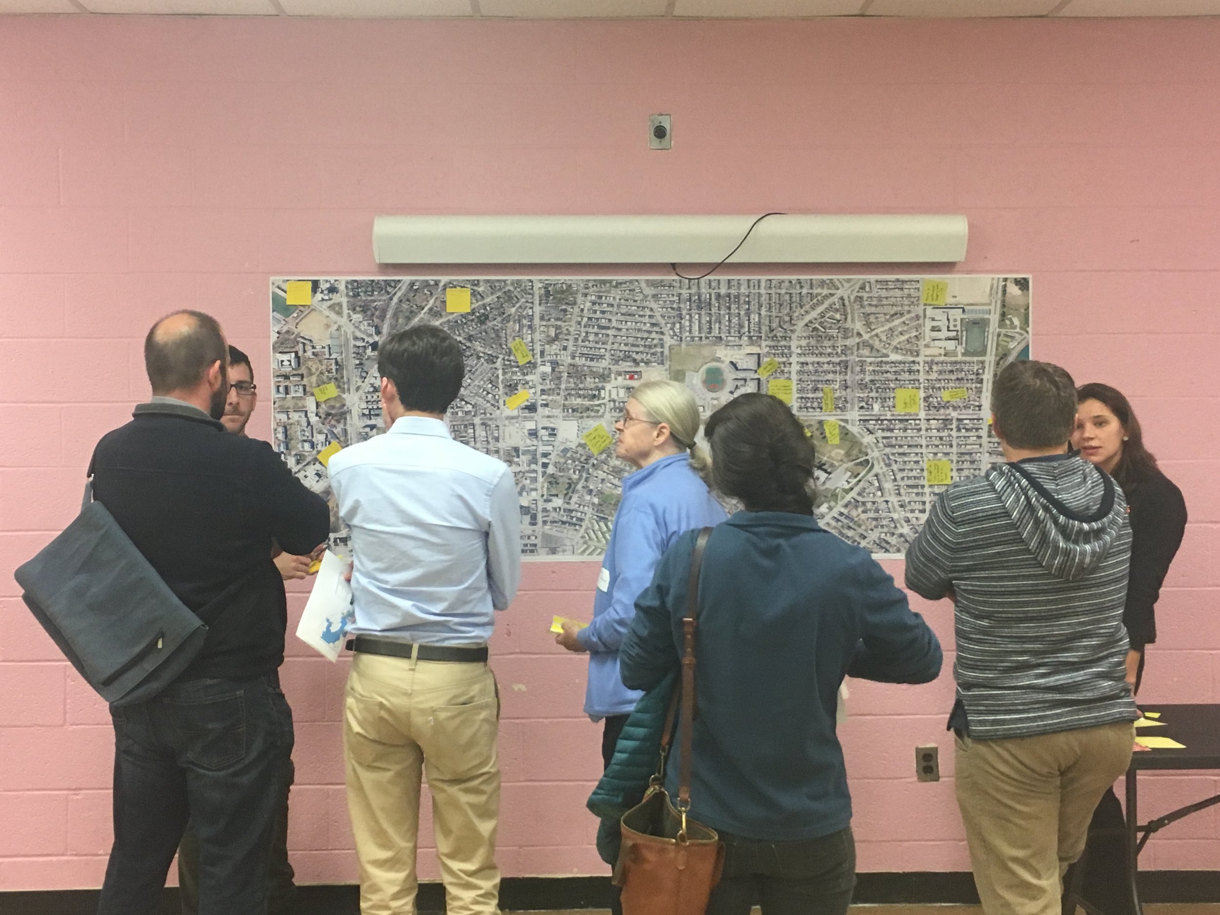
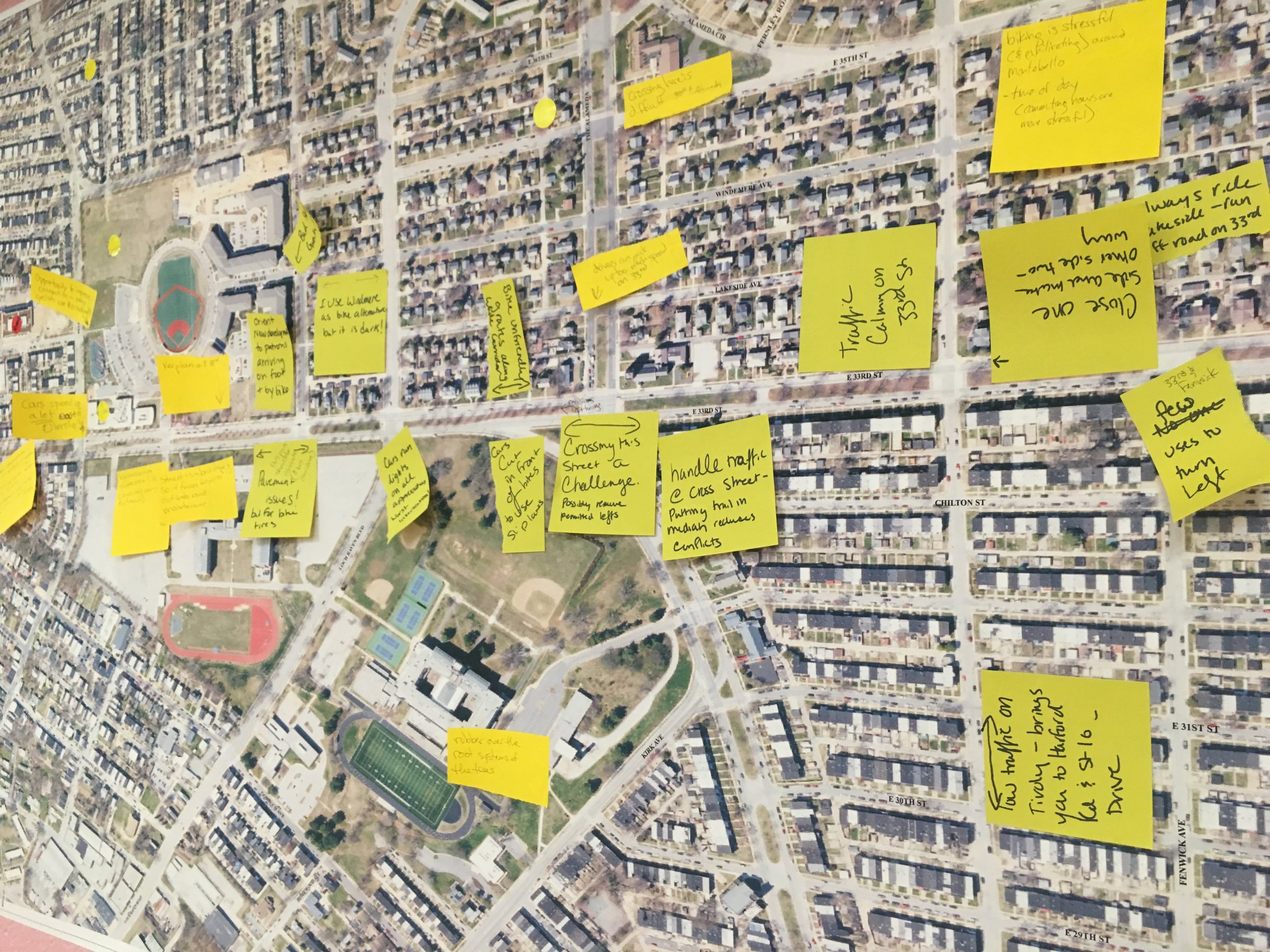
Bikemore is part of the Baltimore Greenway Trails Coalition, funded by a Plan4Health grant from the American Planning Association and the Centers for Disease Control. Over the past year, our partner and lead on the project, Rails-to-Trails Conservancy, has hosted over a dozen meetings with residents and stakeholders adjacent to the Gwynns Falls Parkway and 33rd Street corridor. At these meetings they discussed using these two streets to connect the Gwynns Falls Trail, Jones Falls Trail, and Herring Run Trail into an eventual 35 mile trail loop in Baltimore City where people can walk or bike safely in a dedicated space separated from mixed traffic.

One of the options proposed for 33rd Street and Gwynns Falls Parkway is a two-way, on street protected bike lane.

The other is a center-running, multi-use community path. The advantage of this option is that it could be used both by people walking and biking, as well as neighbors who just want to recreate outside their homes.

This isn't a new idea. The coalition is building on and supporting existing initiatives, including Parks & People’s One Park Concept, Baltimore City’s Growing Green Initiative, the updated Baltimore City Bicycle Master Plan, the Open Space and Parks Task Force, and a revitalized master plan for the Middle Branch. Going back further, it works to bring the original Olmsted vision for Baltimore's "Parkways" to life.

A Brief History of Olmsted Parkways

The revised Olmsted vision in The Baltimore Sun, July 26, 1914

The revised Olmsted vision in The Baltimore Sun, July 26, 1914

The Olmsted Brothers Company is responsible for the design of both 33rd Street and Gwynns Falls Parkway, among other parkways and boulevards in Baltimore City. The original intent and goal of these "Parkways" was to bring "Parking" (of the green—not car—variety) into communities, and connect Baltimore's entire park system via linear parks containing designated spaces for people to enjoy the park system by foot, car, bicycle, horse, or carriage.

Rapid city growth led to push back around the size of the right of way required to implement this plan. The result was the series of narrower boulevards present in our city today. Automobile based planning decisions in Baltimore, since these boulevards' construction, have turned them into high-speed automobile corridors, far from the original intent. Luckily, we can look back at the Olmsted vision for Baltimore, as well as to more successful implementations in other cities to see how we could better reprogram this space to match the true Olmsted intent.

The Olmsted designed Lincoln Parkway in Buffalo was planned with a multi-use, protected trail for people walking, biking, or riding.

Lincoln Parkway in Buffalo today looks much like 33rd Street, albeit with wider medians. While beautiful, it is rarely used by people.

The Olmsted Designed Eastern Parkway in Brooklyn in the 1930's with a multi-use median path for people walking and biking.

Today, Eastern Parkway retains the multi-use median path for people walking, biking, playing chess, or sitting on benches.

The Olmsted designed Brooklyn Ocean Parkway's multi-use path was split to include a "bicycle highway" in the 1890's.

Brooklyn's Ocean Parkway retains bicycle and walking paths today.

Project FAQ /Fact Check

While this is an exciting project that will serve all of Baltimore, and which has the potential to address a number of health, access, transportation equity, historic preservation, and quality of life issues for the whole city - some residents have expressed concerns about potential changes to the public space. A few others have spread false information about the project. 

This is just one piece of a 35 mile trail vision. If this one stretch fails to materialize like the rest of the trail, the economic, public health, and transportation benefits of the entire trail system are in jeopardy.

We address some of the concerns here:

Some neighbors say this will remove green space

The proposed multi-use path, one option being explored on the corridor, will enhance green space. Currently, the medians serve as a green barrier to high speed automobile traffic. Activating this space with a multi-use path is one step in reclaiming the street for all road users.

The proposed median path would actually add active green space by lengthening medians and closing some of the "u-turn" locations between the existing medians to reduce high speed car traffic cutting through neighborhoods.

In addition to the median path, additional trees, shrubs, and rain gardens would be implemented to control and treat stormwater. Currently, the median has soil that is severely compacted and does not effectively treat storm water. 

But some neighbors said you'll pave the median and kill all the trees

While a paved surface is the most ADA compliant and accessible surface, no decisions have been made about trail materials. There are many options. A "floating trail" can rest on the current median surface, and there are many other permeable paver solutions. The Indianapolis Cultural Trail is an example of a "floating trail" surface that is permeable and does not disturb existing plantings. A soft surface trail also allows water infiltration without tree root damage. 

The next round of study for this project will include specific planning and specifications for tree care as well as trail surface. There are many examples across the country of trail and path construction coinciding with tree care and maintenance. 

This would be dangerous for everyone

The current design of these roadways is dangerous for everyone. The floating unprotected bike lanes are substandard, the sidewalks have too many street crossings, and the wide travel lane allows cars to drive too fast. 

The proposed redesign would be engineered to the highest safety standards to protect trail users, residents, and people driving along the corridor. All crossings would prioritize the safety of trail users. Traffic calming would be a significant part of the design of the entire corridor. 

This plan isn't historic or destroys the Olmsted Vision

See the above background on the Olmsted vision for these parkways. This plan introduces many elements of the historic Olmsted vision, and will ultimately achieve the Olmsted goal of connecting Baltimore City's major parks via parkways that can be safely enjoyed by city residents by foot, car, horse, or bike.

So, what can I do if I support this plan?

#FillTheRoom for the next
33rd Street Open House

April 25th | 6:00 - 7:30pm
29th Street Community Center

RSVP and invite your friends and neighbors here!


Plan4Health & Greenway Trails Coalition Update

In the Fall of 2015, the Baltimore Greenway Trails Coalition was formed. Funded in part by a grant administered by the American Planning Association, Baltimore became one of 20 cities to be recognized across the country through their competitive Plan4Health Grant.

The grant has provided capacity building funds to help us do critical coalition building work — to create a collective vision for a 30 mile, multipurpose trail loop around all of Baltimore. The funding has supported staff positions at Rails-to-Trails Conservancy, Bikemore, and CPHA, technical assistance from national experts in public health and planning, and programming in the Greater Mondawmin area. As our grant funding comes to a close we wanted to both reflect on all that we’ve learned over this 18 month process and what we hope to accomplish moving forward.

The Value of Having a Vision for Trails

The vision for the Baltimore Greenway Trails Network--on street facilities and new trails to fill gaps in our existing recreation trail system that includes the Gwynns Falls, Jones Falls, Herring Run, and Middle Branch trails — is one we see championed in master plans across many different agencies and stakeholder groups.

From the New Auchentoroly Terrace Community Association to the Baltimore City Office of Sustainability — plans have been created that aspire to provide better connections to our park system, improved access to recreation, and increased opportunities for folks to choose biking and walking as their primary form of transportation.

This process laid bare how our communities most in need of increased access and opportunity are often asked repeatedly to be part of a planning process that has no real path toward implementation. Neighbors we have worked with have been asking for things like more traffic calming, better crosswalks, and more trails for decades. This tendency for community planners to inflict community engagement fatigue on our neighbors has to end. We must strive for resources that can be invested in tangible improvements, rooted in the community’s vision.

That is one of the true strengths of the Baltimore Greenway Trails process. It’s a marriage of many existing plans — ones that did countless hours of outreach — and provides a clear path toward construction. Neighbors have become critical partners in refining the plan and helping to create awareness, but it was clear from the beginning that to spend neighbors’ time or grant resources on demonstrating need is wasteful and tokenizing.

Despite sections of the trail being years off from construction, having a clear vision has also allowed us to influence planning decisions that are taking place today. Because of our work along the 33rd Street corridor, we were able to negotiate with Johns Hopkins University to ensure that private dollars being used to reconstruct a block of 33rd street between Charles and St. Paul incorporated many elements of future design plans. The improved block design not only provides state of the art accommodations for people who walk and bike, but improves safety for all users by reconfiguring turn lanes and straightening out travel lanes.

Better Engagement

One of our goals through this coalition building phase was to create improved ways to engage stakeholders in the project. We did that through maintaining an active presence at the Druid Hill Farmers Market:


Supporting artist Graham Coreil-Allen to create a demonstration project:


And creating open houses for folks to have early input into the design process:

This was in addition to ten coalition meetings that drew attendees from across city agencies, anchor institutions, the private sector, and neighborhood groups.

Next Steps

As we move from the coalition building phase into the implementation phase, Bikemore’s role in the Baltimore Greenway Trails Network will evolve. We will be supporting Rails-to-Trails Conservancy’s efforts to engage neighborhoods in planning sessions, as well as advocating for continued resources and political support to make this vision become reality.

Rails-to-Trails was able to leverage Plan4Health dollars into an award from France Merrick that will support the creation of 30% designs for all the on street gaps that currently exist in the plan. From there, the City has agreed to use these designs to submit for capital grants, such as Maryland State Bikeways dollars to go toward construction.

Neighborhood engagement is ongoing. If you’re interested in having input into facilities planned for 33rd Street and the Gwynn Falls Parkway, you can participate in the following scheduled events:

Our Thoughts on the Separated Bike Lane Network Plan

The 2015 Bike Master Plan comprehensively maps out bike routes in every neighborhood in Baltimore. It's a robust guiding document for bicycling in Baltimore, but it lacks specificity in two areas: facility selection and prioritization of implementation.

Recognizing these faults, Baltimore City Department of Transportation has drafted an addendum to the 2015 Bike Master Plan, the Baltimore City Separated Bike Lane Network.

Like our neighbors in the DC region, the addendum begins by mapping the level of "traffic stress" on each of Baltimore's streets, and then identifies a network of protected lanes and supporting bicycle facilities, like bike boulevards, to connect to existing facilities and existing "low-stress" streets. 

A "low-stress" street is far more likely to be used by people identified as "interested but concerned" bicycle riders. For example, only about 38% of "interested but concerned" bicycle riders would use a standard bike lane, but that number grows to 80% if protected bike lanes are present or if the street is slow, calm, and has a neighborhood feel.

Draft facility selection flow chart

Draft facility selection flow chart

The goal of this addendum is to make the majority of Baltimore City neighborhoods accessible by a barebones network of protected infrastructure, supporting facilities, and existing low-stress streets in just five years.

The plan is ambitious, and it is a giant leap forward in planning and prioritizing bicycle infrastructure in Baltimore. 

Things we really like about the plan

  • It creates a sensible and appropriate selection process for the type of bike infrastructure applied to streets.

  • It focuses on building infrastructure that will make a wide range of people comfortable riding bicycles.

  • It focuses on building out from, and connecting gaps in, our existing infrastructure.

  • It prioritizes building infrastructure in historically marginalized communities with low car ownership to connect those communities to existing infrastructure in areas of opportunity.

Things we don't like about the plan

  • It purports to be data-driven, but North Avenue and other major, high-stress roads were left off the map for protected infrastructure, despite qualifying by the plan's own metrics. This suggests "hard limitations" were placed on the planning process by BCDOT because they don't want to make North Avenue Rising better.

  • Already planned and funded infrastructure is counted in the "Within 2 years" implementation map, despite an overall Bike Master Plan goal of 17 miles of infrastructure per year.

Here's what we want you to do:

  1. #FilltheRoom! Show up for the public meeting on Tuesday, February 21st at 6:30pm at the War Memorial Building.

  2. Leave feedback online by filling out this survey by March 15th.

  3. Show up to the Planning Commission hearing (TBD) to support the addendum with incorporated community feedback.

Parallel facilities can't replace direct, protected routes.

Parallel facilities can't replace direct, protected routes.

We ask that in your feedback, you demand that high-stress roads like North Avenue, Belair Road, Liberty Heights Avenue, and Edmondson Avenue be prioritized for infrastructure as the plan's data shows, instead of making the easier and cheaper political choice of building "parallel facilities."

Priorities: Spending Millions on Central Avenue for More of the Same

This is the second in a series of posts highlighting presentand flawedplanning priorities in Baltimore City.

Portions of Lancaster Street, Central Avenue, and Aliceanna Street are being closed as construction begins on the Harbor Point Connector Bridge. This bridge seeks to accommodate the anticipated increased traffic from the many mixed-use construction projects underway in Harbor Point, including the new Exelon headquarters.

The reconstruction of Central Avenue has been underway since 2012. Phase I, which spanned from Madison Street to Baltimore Street, was completed in 2015. Phase II began several weeks ago and will cost $47.5 million, $10 million of which is from the Harbor Point TIF.

Phase II also represents the City's first design/build project. Design/build projects award both design and construction to the same contractor in an effort to expedite project timeline. In this case, the request for proposals was issued in March of 2016 and awarded in July of 2016. Construction is beginning just six months later, and folks could be driving across the new bridge by the end of this year.

Baltimore City needed to move quickly to address the transportation challenges created by moving thousands of jobs to a peninsula with limited access points. As a result, this project has numerous missed opportunities, and has highlighted dysfunction within the Baltimore City Department of Transportation.

Ignoring Complete Streets: Planning for Cars, Not People

The Phase II project area of Central Avenue currently has two lanes of traffic in each direction, a center turn lane, and substandard, unsafe bike lanes. After a $47.5 million rebuild, it will have the exact same configuration.

Too wide, too dangerous: Central Avenue retains prior configuration after $47.5 million rebuild.

Too wide, too dangerous: Central Avenue retains prior configuration after $47.5 million rebuild.

The new Central Avenue bridge will feature a mixed use path, and narrow standard bike lanes, but no protected bike infrastructure alongside 4 lanes of car traffic.

We know that developments without real infrastructure to encourage people to shift from driving will result in more of the same: more cars, more congestion. It's unclear why large scale developments in the most traffic-choked parts of Baltimore are allowed to move forward without robust investments in multi-modal transportation solutions. 

Bikemore requested a more adequate Complete Streets treatment during Phase I construction in 2012. Instead, automobile throughput was prioritized, and "sharrows" were installed against Department of Transportation's own policy. Now, the failure to design adequately in Phase I is used as an excuse to make the same mistakes in Phase II in the interest of "promoting continuity."

The Central Avenue project website describes Phase I "Sharrows" as Dedicated Bike Lanes.

The Central Avenue project website describes Phase I "Sharrows" as Dedicated Bike Lanes.

Cities across the country recognize that adding and retaining travel lanes for private automobiles induces demand and leads to more congestion. Baltimore must join them in moving away from road expansion, and instead invest in meaningful improvements that actually remove cars from the road.

Our 2010 Complete Streets Resolution, and subsequent Department of Transportation policy, says as much. Why, over six years later, do these two policies continue to be sidestepped? Why has no system of accountability been put in place and enforced? 

Why are we spending $47.5 million to force people to unsafely walk and bike alongside traffic that will attain speeds in excess of 40mph in one of the densest areas of our city?

A simple fix could provide protected bike lanes and 10 feet of additional pedestrian refuge.

A simple fix could provide protected bike lanes and 10 feet of additional pedestrian refuge.

Not every street needs a state-of-the-art bicycle facility. But every street that receives federal and state funding should be evaluated to safely include all road users. It's the law. There was a way to make Central Avenue do more for the city, but for now, we're getting a highway offramp to Harbor Point.

Project Inequity

Bikemore spent four years fighting to get the Maryland Avenue protected bike lane installed, a project roughly 2% the cost of Central Avenue Phase II. Throughout that fight we were told that long project timelines are par for the course. In meetings with Department of Transportation, Interim Director Frank Murphy is adamant that the capital process cannot be shortened. But here we are, in wealthy Harbor Point, where design and build of a major bridge may happen in 12 months.

People of color and older adults are overrepresented in pedestrian deaths. Pedestrian deaths are also correlated with median household incomes and rates of uninsured individuals. - Dangerous by Design, 2017

Inadequate design has deadly consequences, and disproportionately impacts those that can least afford to be injured. Yet in large capital investments, Baltimore continues to prioritize accommodating cars from outside of the city. Decision-makers continue to double-down on the myth that in order to grow, attract, or retain business we must make it convenient and fast to get into Baltimore by car.

Traffic congestion does harm business, but only when it's allowed to reach a certain degree. When you design public spaces that allocate too much space for private vehicles, everyone loses. When you don't push forward on projects that seek to improve the lives of residents that need it the most, you hold back the entire city. We must reject anecdotes from CEOs stuck in moderate traffic, and rely on the volumes of environmental, public health, and transportation data that tells us there is a better way.

Countless improvement projects are awaiting design, approval, or signatures to inch closer toward construction. The pace at which these improvements are being implemented, compared to projects like Central Avenue, is maddening, harmful, and inequitable.

The future of Baltimore is dependent on a Department of Transportation that is willing to put forth bold, innovative ideas that begin to address the most pressing transportation challenges of our residents.


→  Be sure you're subscribed to our email list for an upcoming update on how you can support Complete Streets in Baltimore! 


Baltimore selected as Big Jump city!

"For decades, road design has prioritized car commuting through the 7th district over residents' ability to access the assets and opportunities that exist both within and outside our district by foot, bicycle, or public transit. People for Bikes' Big Jump Project is an opportunity to re-focus our priorities on improving quality of life for people living in and around Reservoir Hill, making jobs to the east and our world-class Druid Hill Park to the north safely accessible to residents who choose to walk, bike, or take transit."

— Leon Pinkett, Councilman 7th District

Baltimore was selected as one of ten cities to participate in People for Bike’s Big Jump! The Big Jump Project is a three-year effort to help achieve a big jump in biking – a doubling or tripling of people riding – by building a network of safe and comfortable places to ride and engaging the community. The Big Jump will provide technical support to the city and community leaders, supporting on-the-ground infrastructure, smart outreach, community engagement, and measuring result. In total, Big Jump will provide $750,000 in targeted grants and technical support over three years. 

Big Jump Study Area with existing low stress bike connections and proposed connections.jpg

Big Jump specifically looks at ways to support neighborhoods that are already making strides toward increasing the number of people who walk and bike, and aims to build on that success in surrounding neighborhoods. 

Therefore, Baltimore’s project will focus on improving bike infrastructure in a swath of Central and West Baltimore, with the ability to connect a neighborhood of huge opportunity, Remington, to a neighborhood that would benefit immensely from increased connectivity, Reservoir Hill. The selected project area already has a higher percentage, relative to the city average, of households that lack access to a car; it has neighborhoods that already have high percentages of people walking; and it has neighborhoods eager to increase the number of people walking and biking if there was better infrastructure. 

"Innovation Village was pleased to support the City of Baltimore's application for the Big Jump Project. Removing barriers to mobility is critical to advancing socioeconomic and racial justice in our city, and a key component of raising the quality of life in a neighborhood – a key mission of the Innovation District." — Richard May, Innovation Village

We want to thank the organizations that lent their support for this application and look forward to working with them as the project unfolds. Those organizations include Beth Am, Central Baltimore Partnership, Greater Remington Improvement Association, Healthy Neighborhoods, Hekemian & Co. Inc., Innovation Village, Mount Royal CDC, Old Goucher Community Association, Reservoir Hill Improvement Council, Seawall, Strong City Baltimore and City Council members.

This project also has the opportunity to bring together developers that saw the potential of neighborhood development, in contrast to Baltimore’s standard procedure of placing all major new development along the waterfront. 

"In 10 short years, the community of Remington and Seawall Development have invested $100,000,000 in transformative projects in Remington. The JFX is currently a barrier to people without cars in neighborhoods along Druid Park Lake Drive and Auchentoroly Terrace who want to access jobs, shopping, dining, and entertainment just a mile away in Remington. We hope this project will jump that gap." — Thibault Manekin, Seawall Development

After years of advocacy, we have finally achieved the political will to begin imagining bolder projects that connect all residents to the benefits of active transportation, as seen in 2016 with the launch of Baltimore Bike Share and the construction of the Maryland Avenue cycletrack. With a new mayor and majority new city council in office, Baltimore is at a huge transition point. Participating in Big Jump is a critical next step to bringing new and bigger partners on board as we build a city that’s great for bikes.

“The Big Jump Project will be a catalyst that encourages the city to think in terms of whole bicycle networks versus one off facilities, fosters connections between areas of low opportunity and high opportunity through active transportation, and considers deeply the responsibility to provide transportation choice to residents at a time when things like public health inequity, environmental injustice, and economic disparity are preventing our city from achieving progress. We look forward to working with our public, private and nonprofit partners from Reservoir Hill and Remington as we use active transportation to overcome the deep divide caused by I-83.”
— Liz Cornish, Bikemore

Read the announcement from People for Bikes and Mayor Pugh's press release, and stay tuned for what’s to come!