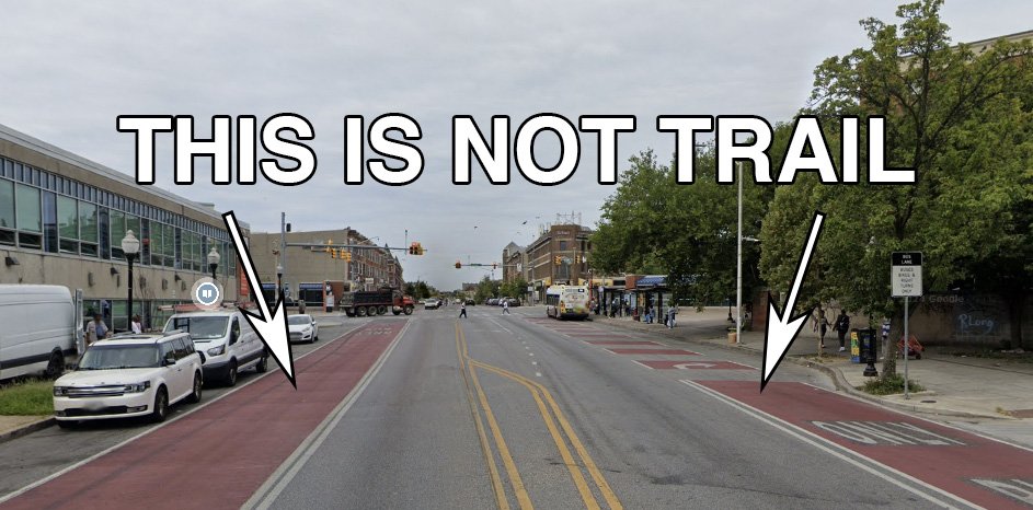
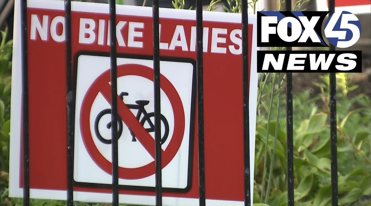
Next Thursday, August 22nd at 6:00pm Baltimore City Department of Transportation is hosting a meeting to share updated planning efforts for the Druid Hill Park to Gwynns Falls Leakin Park section of the Baltimore Greenway Trails Network.
Roughly a year ago, the now-departed Deputy Director and Chief of Policy of Baltimore City Department of Transportation shared that the department's plan was to simply sign the North Avenue dedicated bus lane as the biking "trail" component for this section of the Baltimore Greenway Trails Network.
Since that time, we are unaware of any efforts to revise that plan.
The city-adopted Baltimore Green Network Plan and Separated Bike Lane Network Plan define the Baltimore Greenway Trails Network as a fully separated shared use pathway. A proposal utilizing a dedicated bus lane would be contrary to adopted city plans and policy.
We hope the Mayor's office and Baltimore City Department of Transportation are not seriously considering this proposal. We're asking you to do two things:
Attend the Meeting Thursday, August 22nd at 6:00pm
The Center for Urban Families
2201 N Monroe Street Baltimore, MD 21217
an online option will be available that night at this link.
Send an email to the Mayor and Department of Transportation
Remind them that city adopted plans and policies require the Baltimore Greenway Trails Network be constructed as a fully separated shared use pathway.
Recent polling conducted by Rails-to-Trails Conservancy and the Central Maryland Transportation Alliance--polling that oversampled geographies along the proposed trail--shows broad support for the Baltimore Greenway Trails Network vision. Only 4% of city residents are opposed. The Mayor and other pro-trails and complete streets candidates won their elections.
There's no excuse for a weak trail plan.
Next Thursday, we hope to see a plan that reflects this mandate: a plan that connects destinations like Gwynns Falls Leakin Park, Druid Hill Park, Cahill Recreation Center, Coppin State, and Mondawmin together with a fully separated, shared use pathway along which residents can safely walk, bike, and roll.


